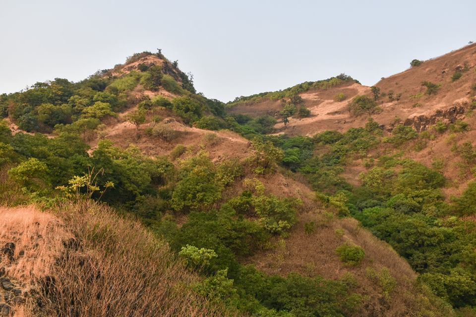
Mahipatgad Fort

TrekVerse Fort Guide

Mahipatgad Fort

Ratnagiri district, Maharashtra

Mahipatgad is a hill fort situated on the east of the Khed. It is one of the largest forts in Maharashtra, with an area of 120 acres. This fort is located 23.6 km from the Khed City. The Mahipatgad. Suamargad and Rasalgad are situated on a same spur 8 km long, which runs parallel to the Western Ghats. The Mahipatgad is on the northernmost end of the spur. The altitude of Mahipatgad is 3490 feet.

Overview

Mahipatgad is a hill fort situated on the east of the Khed. It is one of the largest forts in Maharashtra, with an area of 120 acres. This fort is located 23.6 km from the Khed City. The Mahipatgad. Suamargad and Rasalgad are situated on a same spur 8 km long, which runs parallel to the Western Ghats.

History

This fort was built by Adilshah of Bijapur in the 15th century. This fort was captured by King Shivaji in 1661. Later it passed to the Peshwas and finally to the British in 1818. There are 18 houses in the Beldarvadi village, which is at the foot hill of the fort.

Fortification & Architecture

Places to see

The Mahipatgad looks like a hill-top covered with dense forest of Jamun, Pisa and similar trees found at higher altitude similar to that of Mahabaleshwar. There are Leopards, Wild pigs, Jagur, Mouse deer, Porcupine, Hayenas, Hornbill and barking deer on the fort. ( Beware Of Snakes ) The fort is a table land with six battlements and six gateways. The gateways are in a mint condition.

How to Reach

How to reach

There is a new road built up to the village Wadibeldar. At present one can reach by private vehicle to the village Wadi-beldar. From this village there is a steep track of one hours to the top of fort first step and then the track to the fort is about 25 minutes. The Pareshwar temple is the only option for halting at night on fort.

Mahipatgad Fort Location & Map

GPS: 17.8389, 73.4987 · Open in Google Maps

Sources & Further Reading