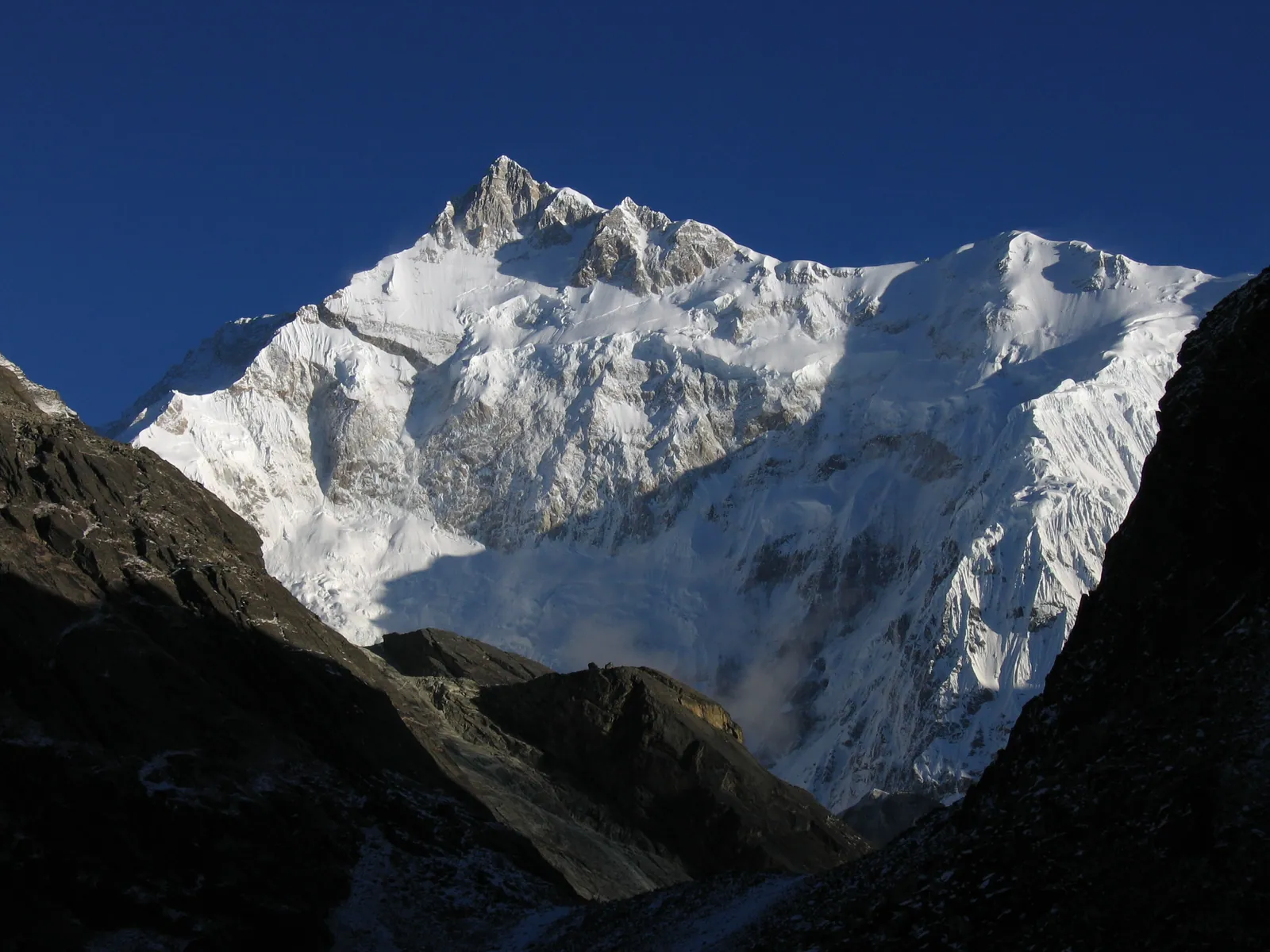
Goechala is the trek that brings you closest to Kangchenjunga, the third-highest mountain on Earth. Starting from the old Sikkimese capital of Yuksom, it climbs through dense rhododendron forest to the high meadows of Dzongri and along a glacial valley to a viewpoint where the east face of the mountain fills the sky. It is long, high and demanding, and for many trekkers it is the finest Himalayan trek in India.
At a Glance
- Start and end: Yuksom, West Sikkim, about 1,780 m
- Highest point: the Goechala viewpoints, roughly 4,600-4,700 m
- Duration: 9 to 11 days on foot
- Distance: roughly 90 km round trip
- Difficulty: moderate to difficult; long days at high altitude
- Best seasons: April to May and October to November
The Route
Most operators go as far as the first viewpoint, usually reached for sunrise, rather than the pass itself, which lies further up the glacier valley. The sunrise view of Kangchenjunga turning gold from Samiti lake and the viewpoint is the reason for the whole journey.
- Yuksom to Sachen and Tshoka: forest, river crossings on suspension bridges, and the first climb
- Tshoka to Dzongri: rhododendron forest, then open slopes
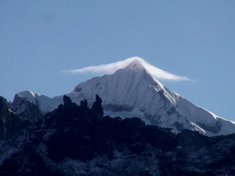
- Acclimatisation at Dzongri, with a pre-dawn walk to Dzongri top for views of Kangchenjunga, Kabru and Pandim
- Dzongri to Thansing and Lamuney, along the Prek Chu valley
- Lamuney to the Goechala viewpoints and back, starting around 2 am
- Return to Yuksom over three days
Permits
The trail lies within the Khangchendzonga National Park, a UNESCO World Heritage Site, and needs both a trekking permit and park entry. Indian citizens need a trekking permit for the Dzongri and Goechala routes, which is arranged through registered operators and checked at Yuksom. Foreign nationals need a Restricted Area Permit for Sikkim and a trekking permit for the route, and must trek with a registered agency and a licensed guide.
In practice, almost everyone treks Goechala with an operator, partly because of these permit procedures. Ask your operator to confirm what they arrange and what you need to carry.
Permit rules for Sikkim's high routes are revised from time to time. Confirm the current requirements with the Sikkim tourism or forest department, or your operator, before booking flights.
How Hard Is It?
Goechala is a step up from beginner treks like Kedarkantha. The days are long, the altitude gain is substantial, and the summit day starts in the middle of the night at well over 4,000 m. Fitness, a prior Himalayan trek, and respect for acclimatisation rules all matter.
The acclimatisation day at Dzongri is important. If anyone in your group shows signs of altitude sickness, the plan should allow them to stay lower or descend.
When to Go
- April to May: rhododendrons bloom; mornings clear, afternoons often cloudy
- June to September: monsoon; leeches, landslides and no views; generally avoided
- October to November: the clearest skies and best views; cold nights
- December to March: deep cold and snow; for experienced teams only
Getting to Yuksom
- Fly to Bagdogra or take a train to New Jalpaiguri
- Drive to Yuksom, about 6 to 7 hours, via Melli and Legship or Jorethang
- Yuksom has guesthouses; arrive at least a day before the trek
What to Pack
- A sleeping bag rated to about minus 10 degrees Celsius
- Insulated and waterproof outer layers
- Broken-in trekking boots with ankle support
- Trekking poles and a headlamp for the night start
- Original photo ID and copies for permit checks
Frequently Asked Questions
Find a Goechala Departure
Compare Goechala batches with permits and guides included.
Browse Upcoming TreksKeep Reading
More from the TrekVerse journal: