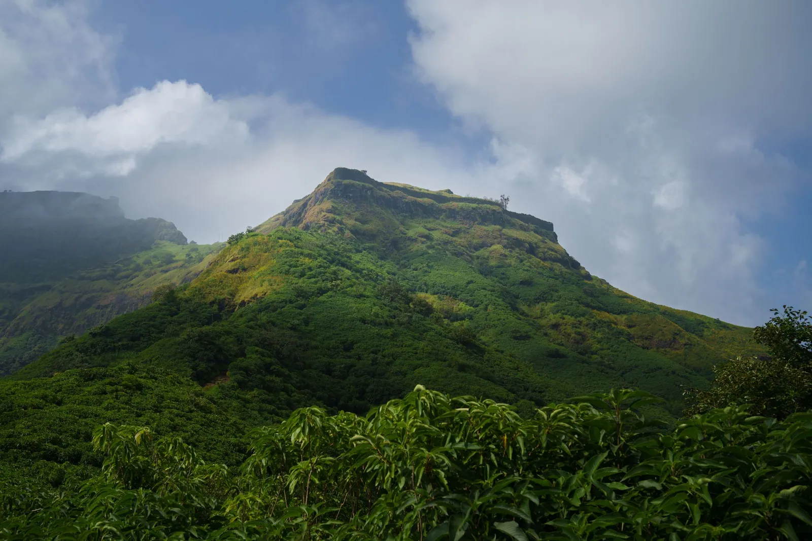
Rajgad was Chhatrapati Shivaji Maharaj's capital for roughly a quarter of a century before the seat of the Swarajya moved to Raigad, and it is still the fort that most Sahyadri trekkers call their favourite. It is big enough to spend a whole day on, it has three distinct spurs and a citadel that each feel like a different fort, and it sits about 60 km from Pune. This guide covers the routes from the base villages, how hard each one actually is, what to see on top, and how the monsoon rules of recent years affect a visit.
Rajgad at a Glance
- Height: about 1,376 m above sea level, one of the highest forts in Pune district
- Base villages: Pal Khurd (Pali Darwaja route), Gunjavane (Chor Darwaja route), Bhutonde
- Distance from Pune: roughly 55-65 km depending on the base, via Nasrapur
- Climb time: 2.5 to 3.5 hours to the top by the common routes
- Difficulty: moderate; the Gunjavane route has an exposed rock section
- Best season: September to February, after the heaviest rain and before the heat
Heights and distances are approximate and vary by source. Plan with a margin rather than to the minute.
Why Rajgad Matters
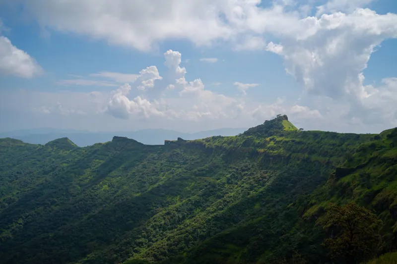
Before it was Rajgad it was Murumbdev, a hill fort the young Shivaji Maharaj rebuilt and renamed in the 1640s. For the next twenty-five-odd years it was the political centre of the emerging Maratha state: campaigns were planned here, the family lived here, and several of the most important events of his early reign happened within these walls. The capital moved to Raigad in the early 1670s, but Rajgad never lost its standing.
What makes it remarkable as a fort, rather than only as a historical site, is its shape. Rajgad is built across three long spurs radiating from a central rock. Each spur ends in a fortified terrace called a machi, and the rock in the middle carries the Balekilla, the citadel. Walking the fort properly means walking out along each spur, which is why a visit that only reaches the Padmavati temple misses most of it.
The Routes Compared
Rajgad can be climbed from several villages. Three routes cover almost every trek group's plans.
A popular plan is to climb by Gunjavane and descend by Pali, which gives you the interesting route going up, where a rock step is easier, and the forgiving one coming down. If your group has anyone nervous about exposure, do the reverse or simply use Pali both ways.
- Pali Darwaja route from Pal Khurd: the most used and the easiest to follow, with long sections of steps up to the Pali Darwaja and onto Padmavati Machi. Good for first-timers and for descending in poor light.
- Chor Darwaja route from Gunjavane: steeper and more interesting, ending in a short rock patch with fixed railings at the narrow Chor Darwaja. Fine in dry weather for anyone comfortable with heights; treat it with real respect when it is wet.
- Alu Darwaja route from Bhutonde: a quieter approach that reaches the saddle between Sanjeevani and Balekilla, and the natural way in if you are linking Rajgad with Torna.
What to See on Top
Most groups arrive at Padmavati Machi, the broad terrace with the Padmavati temple, a large water tank and the remains of the palace complex. From here the fort splits three ways, and the order you take them in decides how your day goes.
Suvela Machi runs east along a narrow ridge to a famous natural rock window known locally as the Nedhe, with a short scramble to reach it. Sanjeevani Machi runs south-west and is the most impressive piece of military architecture on the fort: a double line of walls with a passage between them, built so an attacker who breached the outer wall would find himself trapped. The Balekilla, the citadel on the central rock, is the steepest climb of the day, up a short rock section with railings, and gives the best view across to Torna.
- Padmavati temple and tank, and the ruins of the sadar and palace
- Sanjeevani Machi's double fortification and its bastions
- Suvela Machi and the Nedhe rock window
- Balekilla, the citadel, with views to Torna and the Gunjavane dam
How Long It Actually Takes
Reaching Padmavati Machi takes most reasonably fit groups 2.5 to 3.5 hours from the base. Seeing all three machis and the Balekilla adds another four to five hours of walking, much of it on uneven ground. That is why Rajgad is best treated as a full day, or a night out where camping is permitted, rather than a quick morning climb.
If you only have a day, start early, pick two of the three spurs, and turn around at a fixed time no matter where you are. Descending the Pali route in the dark is manageable with headlamps; descending Gunjavane in the dark is not something to plan for.
Best Time to Go and the Monsoon Rules
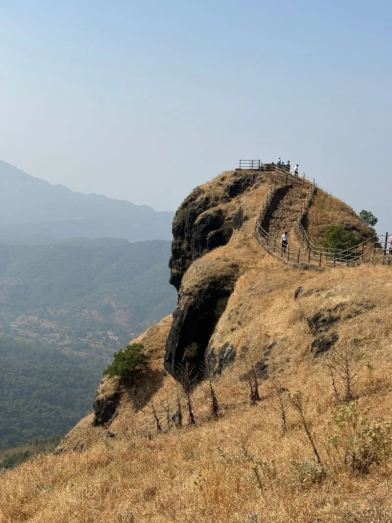
Rajgad is beautiful in the monsoon, with the spurs disappearing into cloud and waterfalls on every face, but it is also slippery, exposed and crowded on weekends. In recent years the authorities have restricted tourism during heavy rain: in 2025 an order covering Rajgad, Torna and nearby dams ran from late June to the end of September, citing landslide risk.
The best trekking window is September to February, once the rain has eased and the hills are still green, through to the clear, cool winter months. March to May is hot and exposed, so start before sunrise if you go then.
Monsoon restrictions are issued fresh each year. Before a June-September visit, check for a current order from the Pune district administration or the Velhe sub-division, and respect closures on the day.
Getting There From Pune and Mumbai
- By car or bike from Pune: via Katraj and Nasrapur to Pal Khurd or Gunjavane, about 1.5 to 2 hours
- By public transport: ST buses run from Swargate towards Velhe and the Gunjavane side; check return timings before you climb
- From Mumbai: the expressway to Pune, then the same route; most Mumbai groups travel overnight and start at dawn
- Parking and small eateries are available at the base villages, especially on weekends
What to Carry
- At least 2.5 to 3 litres of water per person; water on top is not reliable for drinking
- Shoes with real grip; the rock sections are polished and become slick when damp
- A headlamp, even on a day plan
- Food for the whole day, plus a light rain layer in season
- A bag to carry your waste down; Rajgad is a protected monument
Rajgad and Torna Together
The two forts are joined by a long ridge, and the Rajgad to Torna traverse, usually via Sanjeevani and Budhla Machi, is one of the classic hard days of the Sahyadris. It is long, partly overgrown and route-finding matters, so it is a trek to do with someone who has done it before, not one to improvise from a map. Our Torna guide covers that fort in detail.
Frequently Asked Questions
Climb Rajgad With a Group
Find upcoming Rajgad and Sahyadri fort treks from Pune and Mumbai, with group sizes and inclusions listed up front.
Browse Upcoming TreksKeep Reading
More from the TrekVerse journal: