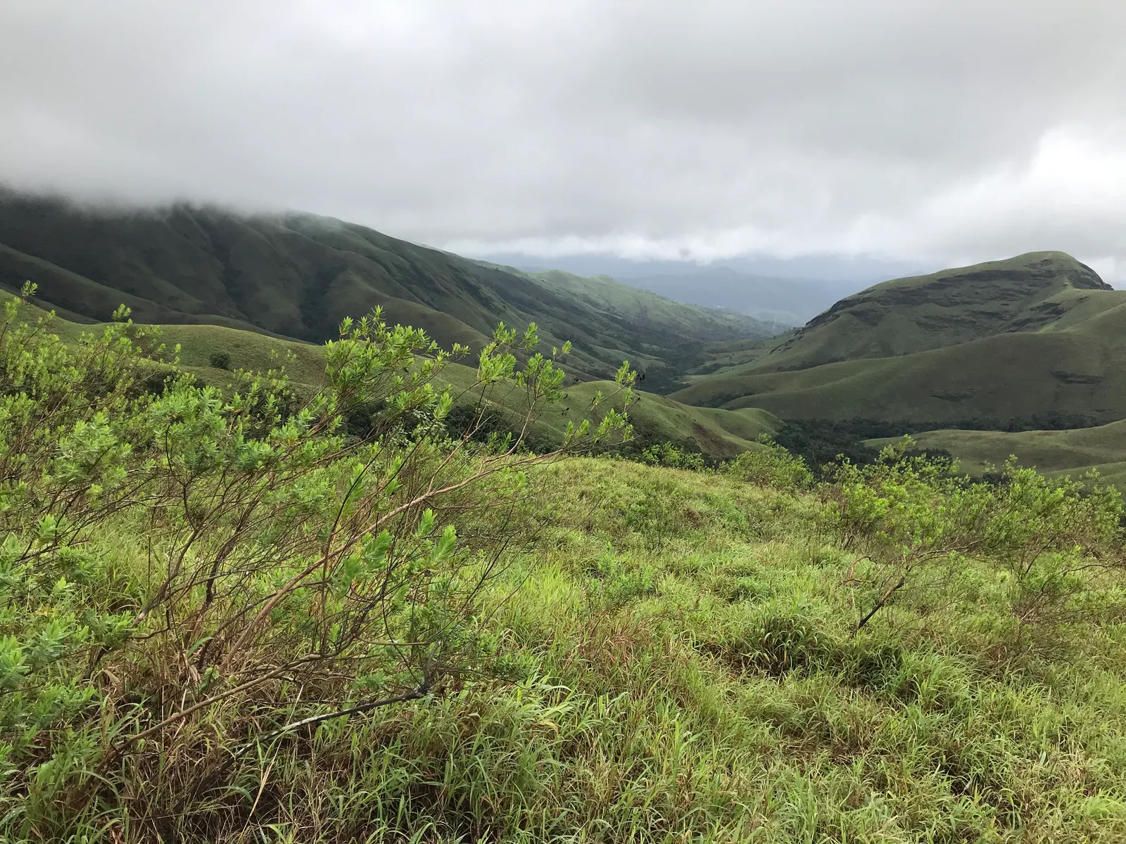
Kudremukh, 'horse face', is named for the profile of its peak above the rolling grasslands of the Western Ghats in Chikkamagaluru district. The trek to the top crosses streams and shola forest and then winds across vast green hills that look more like the Scottish highlands than southern India. It is one of Karnataka's most loved treks, and it is now strictly regulated, with online booking and a cap on numbers.
Kudremukh at a Glance
- Peak: about 1,890 m, one of the highest in Karnataka
- Start: near Mullodi village, reached by jeep from Balagal or Kalasa
- Distance: roughly 18-20 km round trip
- Time: 7 to 9 hours in total
- Difficulty: moderate; long rather than steep
- Booking: mandatory online booking with a daily cap
Booking and Daily Limits
Since 2024 the Kudremukh trek, along with nearby peaks such as Netravati in Kudremukh National Park, has required online booking, with a daily cap on trekkers per peak based on the trail's carrying capacity. Early reports put the limit at 300 a day per peak, with separate quotas on weekends; later reports from the 2026 season describe a much lower cap per peak. Bookings are made through the forest department's online systems, and changes or refunds may not be allowed once a slot is booked.
A forest department guide accompanies groups, and the trek must be completed within set hours.
Numbers and booking rules have changed more than once. Check the official Kudremukh National Park or Aranya Vihaara booking pages for the current cap, timings and fee before planning.
The Route
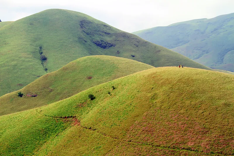
Jeeps take trekkers from the main road to the start near Mullodi, a short but rough ride. From the forest check post the trail crosses a series of streams and patches of shola forest, then climbs onto open grassland. From here the path rolls up and down across the hills, with the peak in view much of the time, before a final steeper climb to the summit.
The descent follows the same way. Because the route is long and exposed, the forest department sets start and turnaround times; stick to them.
Shola Forest and Grassland
Kudremukh's landscape, a mosaic of high-altitude grassland and dense evergreen shola forest in the valleys, is one of the most distinctive ecosystems of the Western Ghats. It acts as a sponge for the monsoon rain, feeding rivers such as the Tunga, Bhadra and Netravati. The national park also protects animals including the lion-tailed macaque.
This is why the caps matter. Grassland trails erode quickly under heavy use, and the forest department's limits are intended to keep the landscape intact.
Best Time to Go
- October to December: green hills, flowing streams and cooler days; the best season
- January to February: drier and golden; clear views
- March to May: hot and hazy on the open grassland; start very early
- Monsoon: trails are often closed; check the booking portal
Leeches and Stream Crossings
In and just after the rains, leeches are common in the shola patches. Leech socks, salt or repellent, and tucking trousers into socks all help. The stream crossings are easy in dry months but swell after rain; cross where the guide indicates and do not attempt fast water.
What to Carry
- Three litres of water; refill from streams only with a filter or tablets
- Sun protection: hat, sunglasses and sunscreen for the open grassland
- Shoes with good grip; the grass is slippery when wet
- Packed lunch and snacks
- Booking confirmation and photo ID
Frequently Asked Questions
Find a Kudremukh Trek
Browse Western Ghats treks from Bangalore, with booking handled by the organiser.
Browse Upcoming TreksKeep Reading
More from the TrekVerse journal: